 |
 |
 |
 |
 |
 |
 |
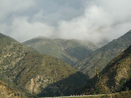
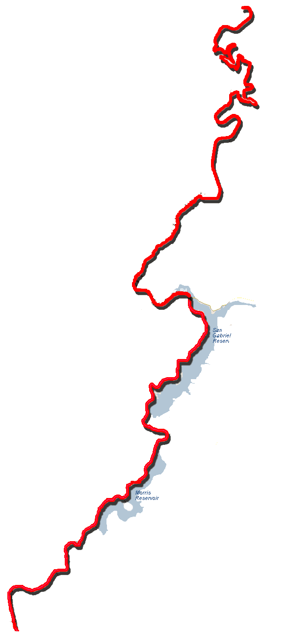
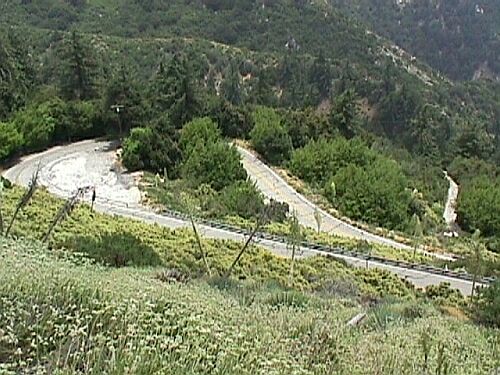
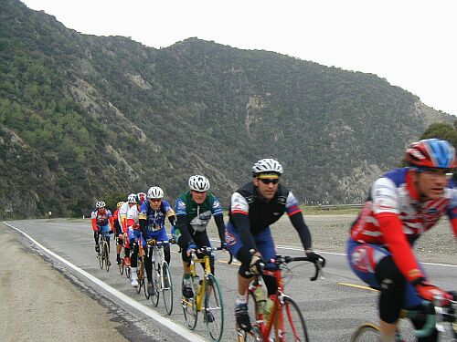
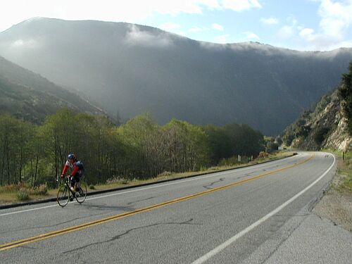
| Crystal Lake Climb San Gabriel Canyon Road Angeles National Forest Los Angeles County, CA |
||
|
 |
|
The main climb starts at the parking lot to the ORV area about one mile north of the East Fork Bridge. Start Evelation is 1540 feet. Directions: I-210 Foothill Freeway. Exit Azusa Avenue - Highway 39. Go North. This will Turn into San Gabriel Canyon Road. |
||

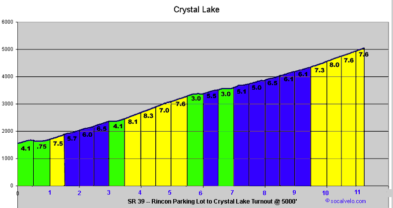
Main Climb - Rincon Area to Crystal Lake turn off at 5000 feet Average Grade 6% for 11.5 miles |
|||
| Feet | Distance (miles) | Grade | |
| 1500 to 2000 | 2 | 4.4 % | slight downhill at the begining and gradual buildup |
| 2000 to 3000 | 2.75 | 6.8% | Hard stuff starts + steepest individual section |
| 3000 to 4000 | 3.75 | 5 % | Narrow road at the top of the canyon |
| 4000 to 5000 | 2.75 | 7.1% | Steep final ascent - 10% section for .25 miles |
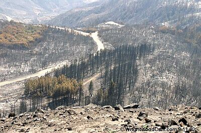
In September 2002, there was a very large fire in the San Gabriel Canyon.
The road was closed until Spring 2004.
2004 Socalvelo.com©