
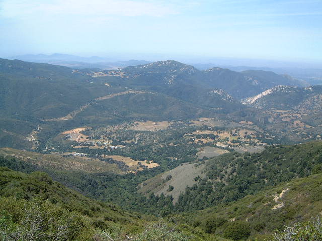
Palomar Mountain Road
Cleveland National Forest
San Diego County, CA

 |
||||||||||||||||||||||||||||||||||||
| NEWS FLASH On Sunday February 22, 2009, Stage 8 of the Amgen Tour of California will be climbing Palomar Mountain South Grade Road from Pauma Valley to East Grade Road. This will surely provide an epic ending and decisive climb. For a map of the stage - CLICK HERE. |
||||||||||||||||||||||||||||||||||||
The climb on Palomar Mountain Road is often compared to Alpe d'Huez. Both have 21or so switchbacks and the mountains are similar in elevation. Palomar has more pine trees at the top, but there are no Alpine glaciers nearby. Alpe d'Huez is a bit longer and much steeper. However for Southern California standards, this is one of the best climbs around. Many locals think this is the hardest climb in Socal, I give that distinction to the Mt. Baldy ski area .
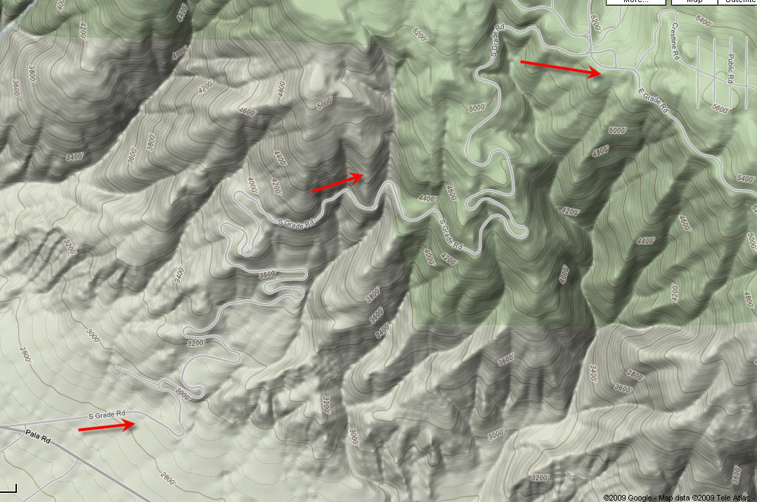
Maps and Profiles |
||||||||||||||||||||||||||||||||||||
| |
|
Directions - The climb starts on State Route 76 in Pauma Valley, |
||||||||||||||||||||||||||||||||||
 |
||||||||||||||||||||||||||||||||||||
©socalvelo.com 2004
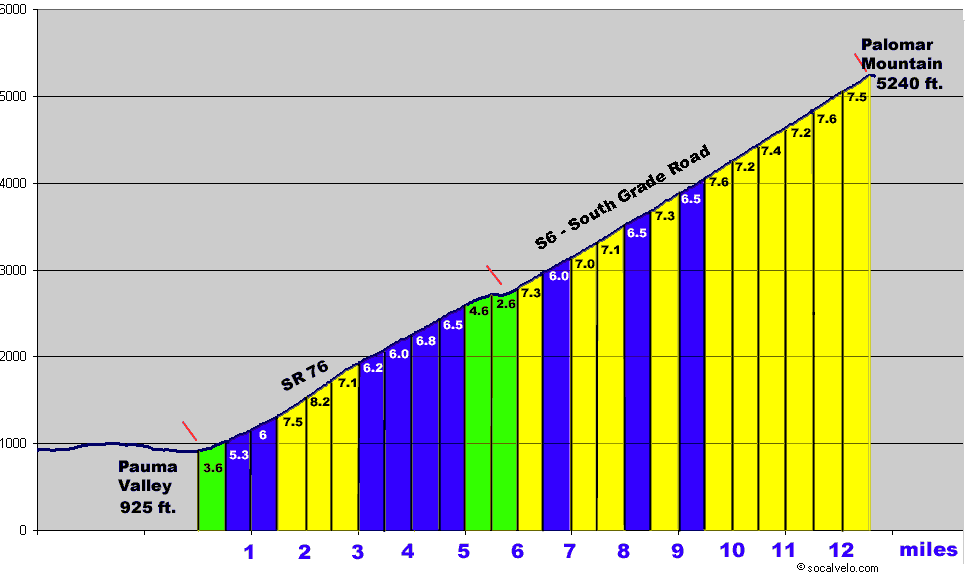 Click to Enlarge Profile
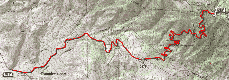